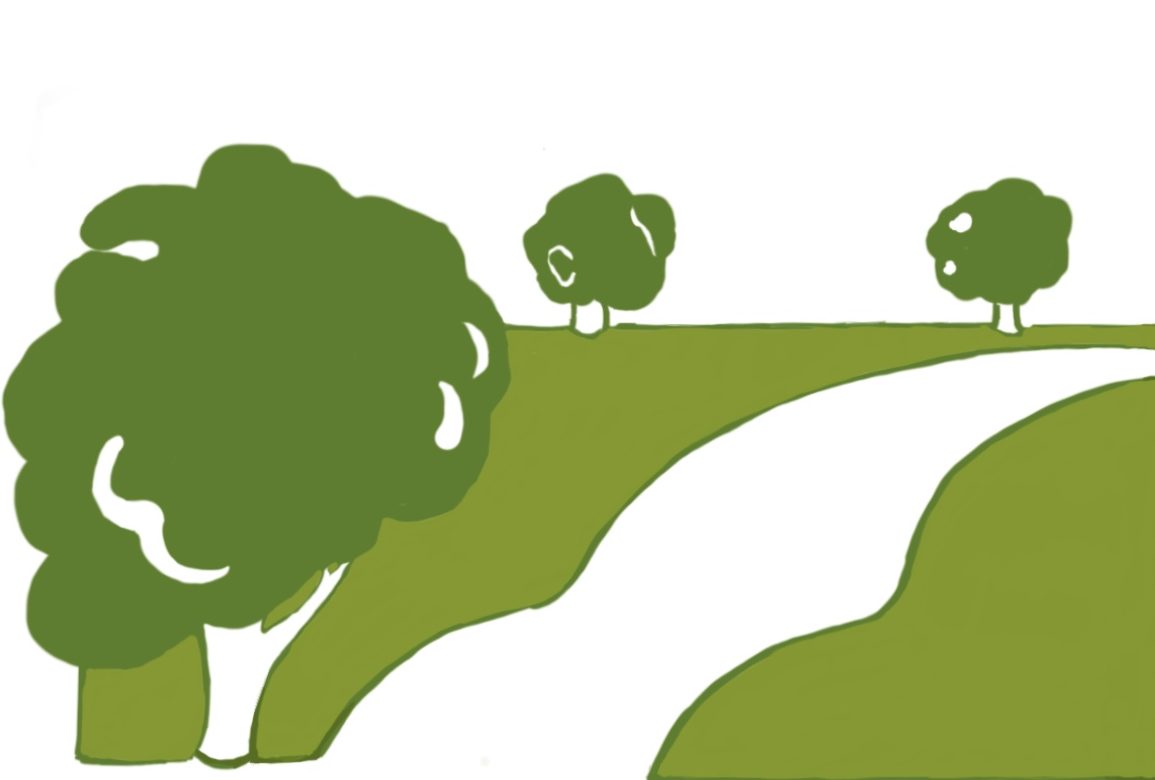

It was during the Covid lockdowns that the benefit to health and wellbeing of fresh air and exercise became more widely recognised. Leaving home for a walk was one of the few legitimate reasons to breach the curfew.
We have an extensive network of rights of way in England, over 140,000 miles of footpaths, bridleway and byways. They are recorded on the Definitive Map which is maintained by local authorities and came into existence due to the National Parks and Access to the Countryside Act 1949. Most were recorded in the 1950s when there were far fewer using them than there are today. As a result, it might be argued that not enough care was taken to ensure that they gave appropriate access to the countryside. Certainly, many are not in the best place for the recreational user of the 21st century, leading straight through a busy commercial farmyard for example.
There are two ways by which new rights of way can be claimed by the public. The first is by showing that a path has been established by use by the public at any time using historical evidence gathered from archives, estate and tithe maps. It was the Victorian judge John Maynard Byles who first coined the phrase ‘once a highway, always a highway’ in a judgement of 1860. This has been a dictum by which most new claims for historic rights depend. The drawback is that it is very time-consuming and thus expensive to conduct the research. If a claim is made that the landowner wishes to dispute, he has to search for counter evidence, whilst the local authority then has to ascertain that all available evidence is known in order to judge the issue. As a result, it may take years for the process to reach a conclusion, especially if it is appealed, and most local authorities have very long backlogs of claims.
It was for this reason that a clause in the Countryside and Rights of Way Act 2000 closed the Definitive Map, setting a time limit for any future claims. Bearing in mind the backlog, that was put at 25 years so that any claim had to be submitted by 1st January 2026. But now Defra is planning to repeal that clause or, technically, because it has never been implemented, it can simply let it lapse. It is part of a package of measures that it is proposing to bring in by Statutory Instrument early next year.
Quite apart from the enormous potential for time required for research and cost to the local authorities for which they have insufficient funds, what purpose does this serve? Of course, it is important that historic routes are recognised but there have been many years for these to be identified with another three still to go. The question is whether any new rights of way will be appropriate routes for the recreational user of today. Many were ways for villagers to get to work, to church or the pub. Some were tracks to reach commercial premises no longer in business such as a watermill for example, long since converted to a house.
The other way new rights of way can be claimed is through continuous use without let or hindrance for a minimum period of twenty years to the date of claim. The landowner can prevent future claims by lodging a statutory declaration with the local authority under Section 31 (6) of the Highways Act 1980. This agrees the designated rights of way across the land but prevents any new claims under the twenty year rule. It is particularly useful to allow permissive access without the risk of it becoming designated. This facility would not have been affected by the clause in the Countryside and Rights of Way Act.
The tragedy is the way the system is organised, making a confrontational approach of claim and counter claim inevitable. If only there was a climate where all interested parties could start with a blank map and designate the routes to give the best views of the landscape, circular routes of varying lengths that avoided busy farmyards and other potential dangers. Those claiming more access would say that landowners would never create more routes voluntarily but many estates have offered more access provided that the present problems of safety or inconvenience could be moved or extinguished. After all, many offer permissive routes already.

The Countryside and Rights of Way Act also introduced the right to roam or, more accurately, the right of access to open country defined as mountain, moorland, heath, down and registered common land. A Conclusive Map was drawn up showing around 900,000 of land over which the public can walk. All woodland and waterside was excluded at the time but activists are campaigning to get the right to roam extended to those areas. Indeed, the Green MP Caroline Lucas introduced a Private Member’s Bill in the House of Commons only last week to extend the right to raom. Although access can be closed for certain periods, unlike rights of way, it relies on the public looking at the website to see when it is open or closed. This makes forestry operations or the culling of deer or squirrels potentially dangerous whilst access to all waterside would be detrimental to fishing interests that pay for the maintenance of the watercourse, not to mention claims by canoeists for a right to paddle.
I am a keen rambler and walk my dogs over the local countryside every day. My main complaint locally is the use of footpaths, even those cross field, by horses which creates huge hoof prints in the mud in wet weather. But I would love to see an expanded network of rights of way that provides better access for the recreational user of today. Sadly, the confrontational approach of the current system and the lack of funding for local authorities make that all but impossible.